.
MEITAR MARCH
Starting point
Bright and early Friday morning hundreds of Meitar pupils set out on the 23rd annual Meitar hike.
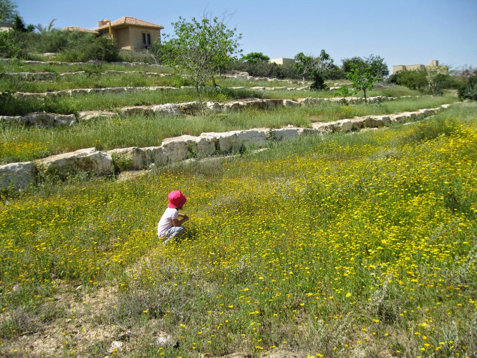
Granddaughter Libby's pre-kindergarten class sat down for breakfast, and their teacher, Orli, used the time to teach them how to look for animal footprints and droppings and try to guess which animals had been there not long before them.
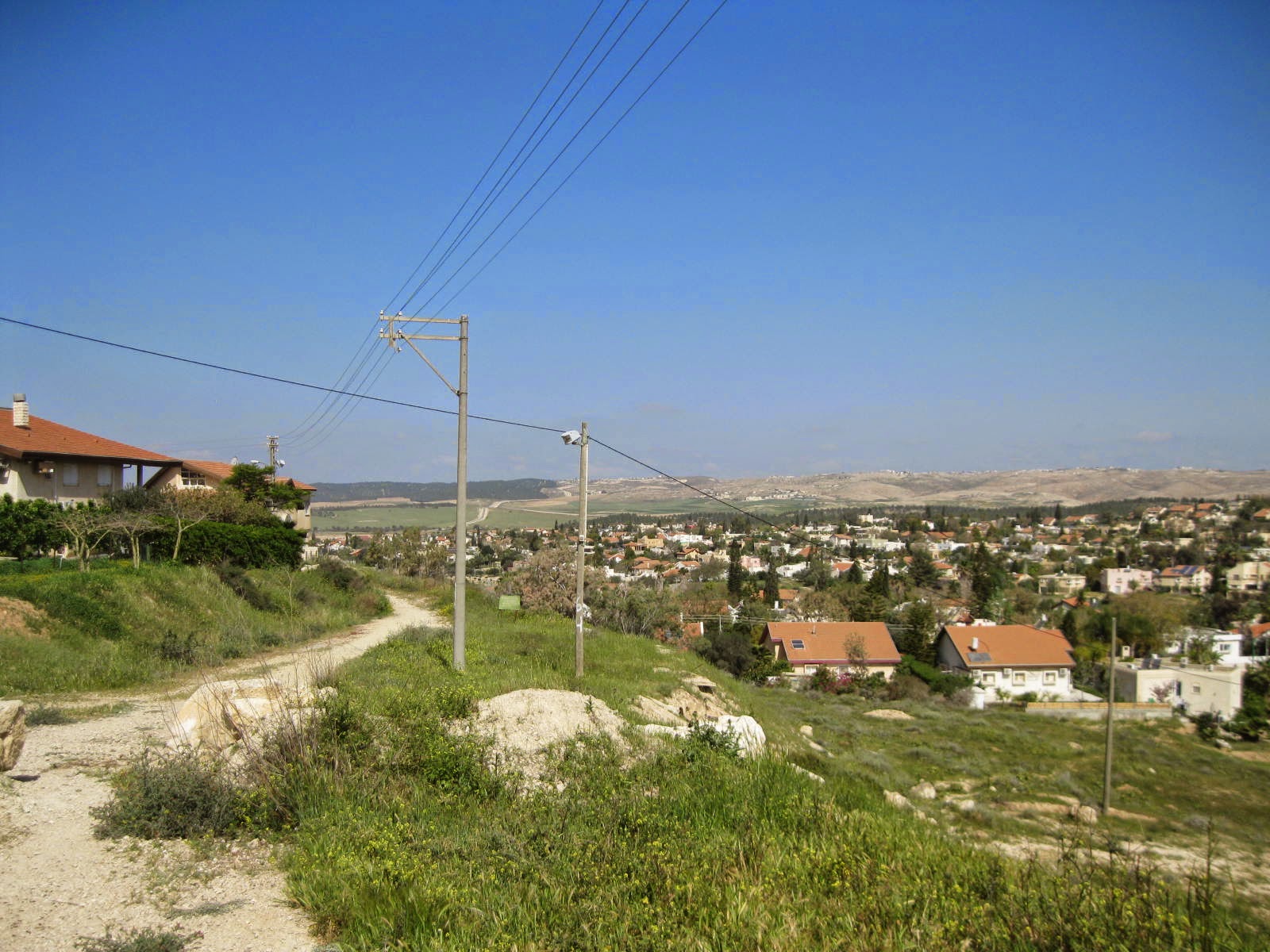
A general orientation of what's out there.
Meitar at the bottom.
Straight west on the middle line would be
Lakiya [Bedouin town], then somewhere on a bare hill the
Negev Brigade [Palmach] Memorial.
Going from 10:00 to 2:00 on the "map"--
Hura [Bedouin township], the Bedouin diaspora [i.e. unrecognized settlements], Omer [Jewish town], Beer Sheva [big city]
and to the right: Sansana Forest, the Green Line,
Sansana [a Jewish settlement just over the Green Line in the West Bank], Ramabin Tribe [or clan].
See the area on a real Google map
here.
Border Police were stationed along the route, making sure the kids did not take a wrong turn.
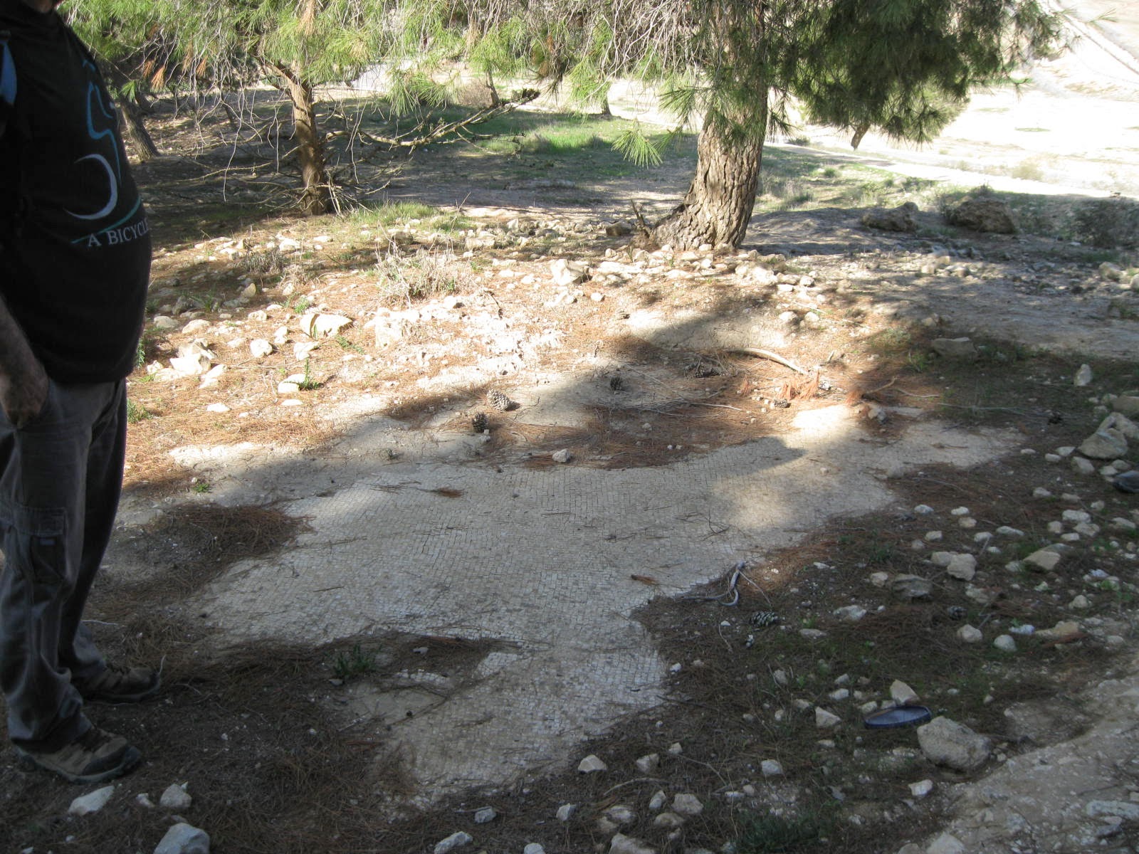
I was surprised to come upon antiquities, only partly excavated a long time ago, it looked like!
Will have to find out more about that.
The whole hike in the desert was only two and a half hours, and then we descended down to little Meitar, home.
.
It's great to have the South Hebron Hills / Northern Negev nature right in our backyard.
.